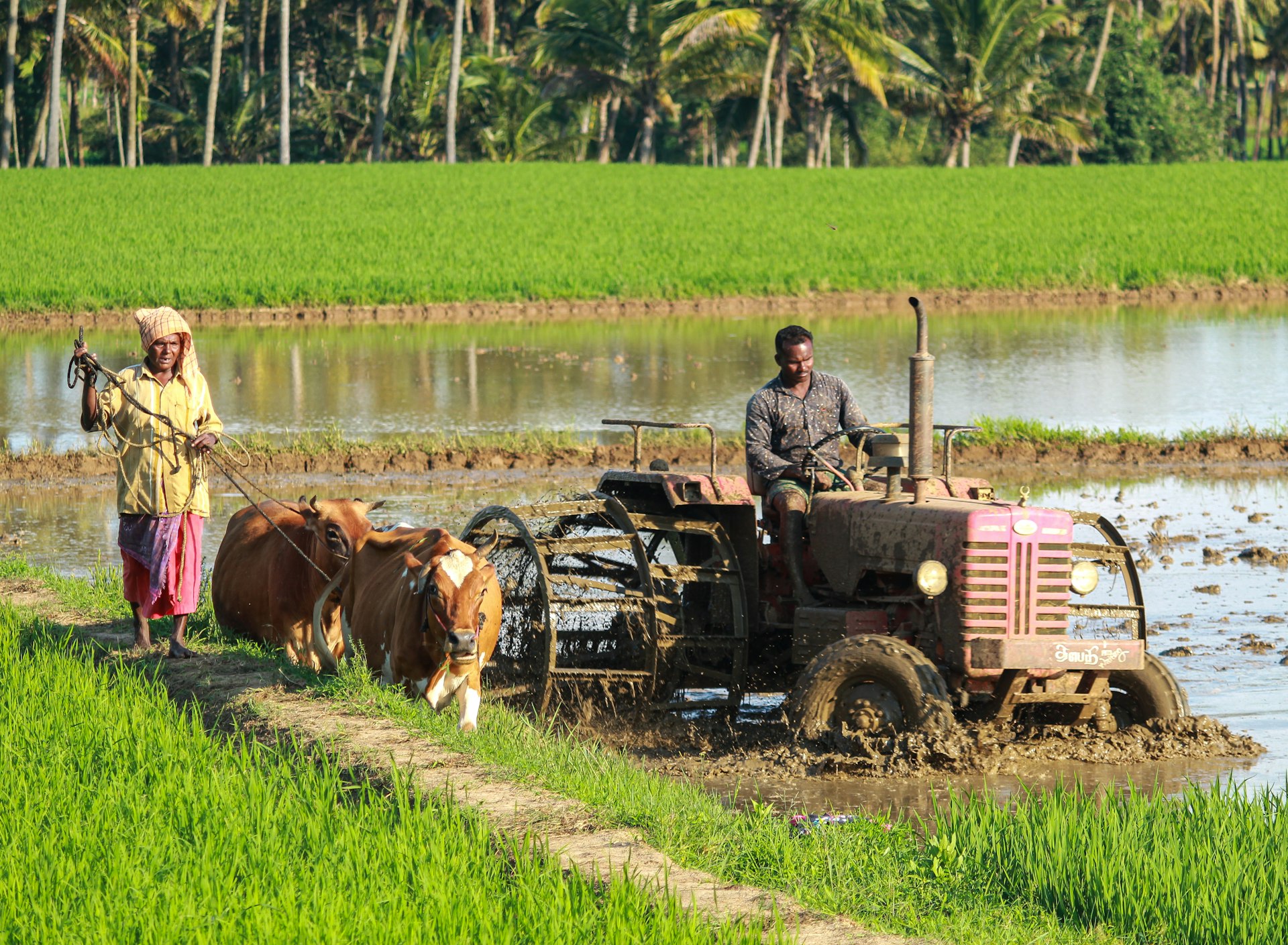
Skip to Content

Satellite-Based Services 


At the heart of WHY Super App is a mission to transform Sri Lanka’s agriculture with real-time, high-frequency satellite insights. Farmers, agronomists, and policymakers now have access to reliable, field-level information that supports better decisions — from planning the season to harvesting the crop.

With daily coverage from modern satellites, WHY brings you:

  • Broad-area monitoring across districts and provinces

  • Field-level detail to detect in-field variability

  • High revisit rates for up-to-date insights

  • Actionable intelligence at every stage of the crop cycle

Benefits of utilizing remote farm monitoring services by WHY 


Ready-to-use vegetation indices for smarter agriculture decision-making 

 More efficient utilization of resources

Scalable analysis of field productivity, from farm to nation 

Coverage of remote hard-to-reach farms 

Benefits for Every Stakeholder

Satellite-powered intelligence creates value for everyone — enabling farmers to grow smarter, cooperatives to manage resources fairly, policymakers to plan with confidence, and businesses to build resilient supply chains.

Farmers

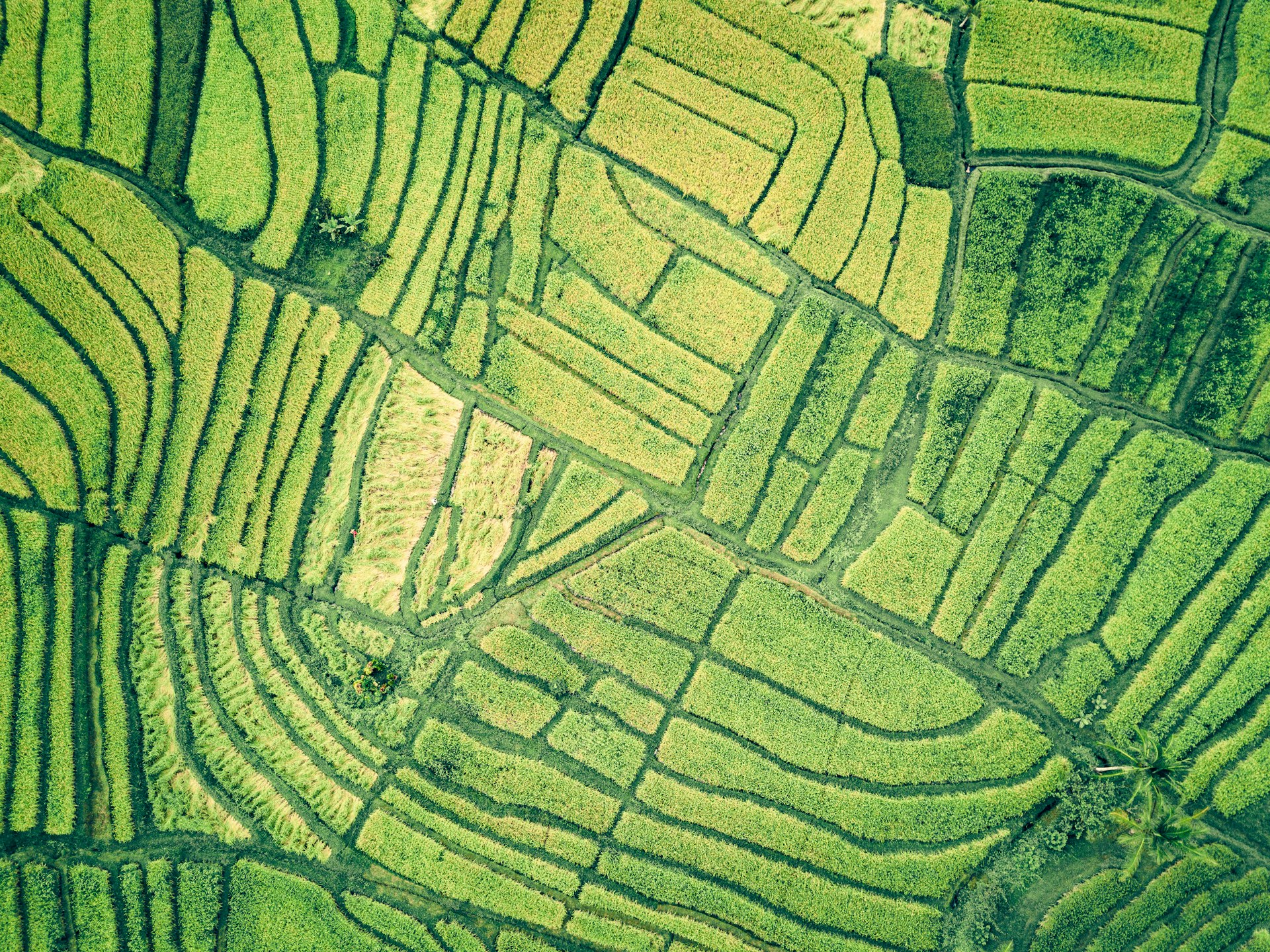
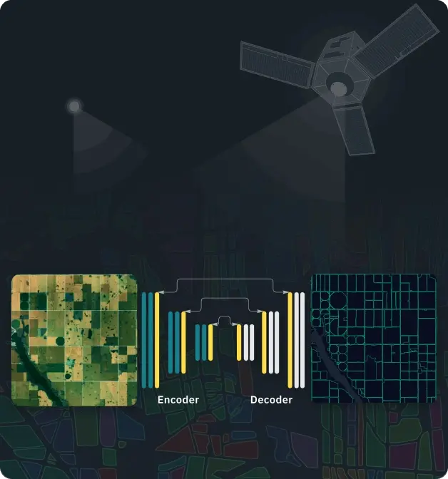
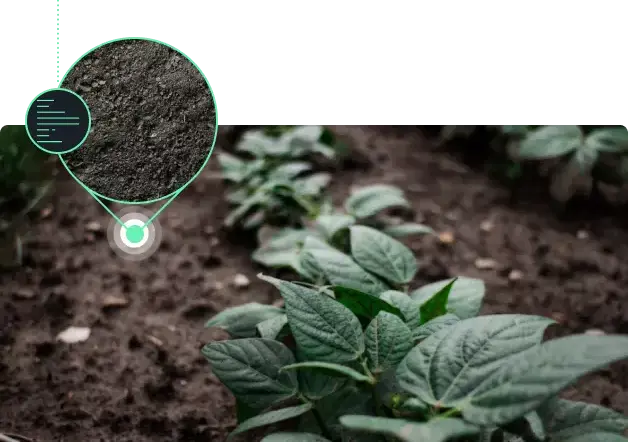
Farming in Sri Lanka is often challenged by unpredictable rains, high input costs, and limited access to information. With satellite-powered insights inside the WHY Super App:

man riding farm equipment during daytime


  • Irrigation Efficiency: Farmers know exactly when to irrigate and how much water to use, preventing crop stress from over- or under-watering.

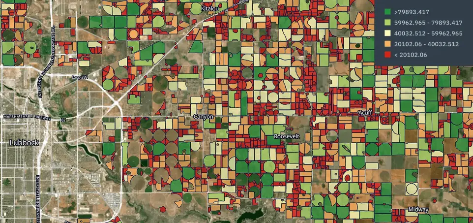
  • Crop Choice Guidance: Historical soil moisture and yield data help farmers select crops that suit their land, increasing profitability.

  • Fertilizer Optimization: By linking soil condition with crop growth, farmers can reduce wasteful use of fertilizer, saving money while protecting the soil.

  • Early Warnings: Satellite-driven drought, flood, and pest alerts allow farmers to take preventive action, reducing losses.

  • Access to Finance: Farmers can use verified digital data (field size, crop type, expected yield) as evidence when applying for bank loans or insurance claims.

Cooperatives & Farmer Organizations


Sri Lanka has thousands of farmer societies, women’s groups, and agricultural cooperatives that manage subsidies and collective resources. With field-level intelligence from the Super App:


Digital Member Profiles: Each farmer’s field boundaries, crops, and yield history are mapped and updated automatically.

Fair Subsidy Distribution: Fertilizer, seed, and irrigation resources can be distributed equitably, based on real satellite-monitored needs.

Compliance & Reporting: Coops can generate ready-to-submit reports for ministries, donors, or NGOs — proving how resources were used and what results were achieved.

Collective Bargaining Power: With accurate data, coops can negotiate better prices for produce with buyers, millers, or exporters.

Sustainability Audits: Cooperatives can demonstrate eco-friendly practices (e.g., water-efficient irrigation) to unlock international funding or certifications.

Banks & Insurance Companies

Financial institutions often struggle with assessing risk in agriculture due to unreliable farmer-reported data. With WHY Super App’s satellite-powered insights:

  • Loan Risk Assessment: Banks can evaluate loan applications based on verified field size, crop type, and historical yields.

  • Insurance Validation: Insurers can confirm whether droughts, floods, or crop failures actually occurred, reducing fraudulent claims.

  • Automated Payouts: Crop yield predictions and soil moisture indexes allow insurers to trigger payouts quickly and fairly, improving farmer trust.

  • Portfolio Management: Lenders and insurers can monitor thousands of farms simultaneously, tracking repayment risks and exposure to climate events.

  • Product Innovation: New financial products (weather-index insurance, performance-based loans) become possible when backed by trusted satellite data.