Field Boundary Detection
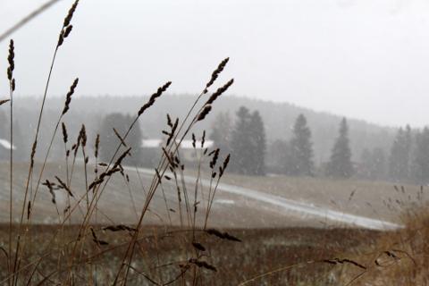
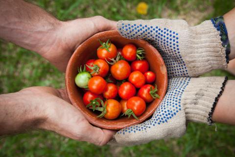
In Sri Lanka, most farms are smallholder plots managed at village and DS-division levels. Without accurate field boundary maps, it’s hard to track subsidies, manage irrigation, or monitor crop health. Manual surveys are slow, costly, and often inaccurate.
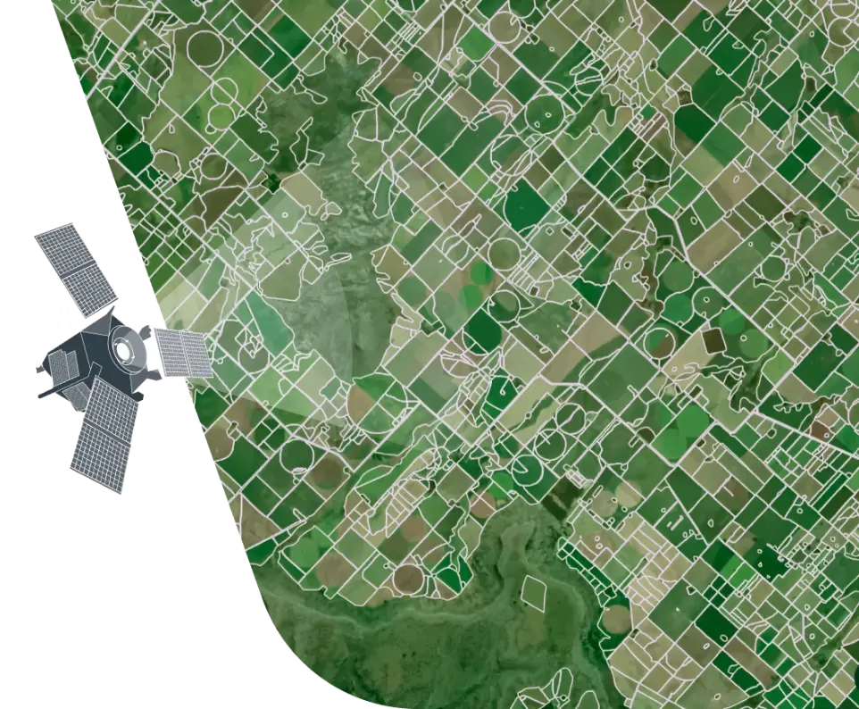
The WHY Super App Field Boundary Detection Solution uses AI + satellite imagery to automatically identify and digitize farm boundaries. With up to 90% accuracy, this technology creates a reliable foundation for crop classification, yield forecasting, irrigation planning, and subsidy distribution.
Key Capabilities
PARAMETERS
CNN-based models deliver up to 90% accuracy (IoU metric).
Field parcels detected from Sentinel-2 satellite imagery (RGB + NIR).
Shapefiles, GeoJSON, KML, GPKG, or API feeds.
From village-level farms to large estate plantations.
Combine with crop classification for per-field crop type insights.
Methodology
1
AOI (Area of Interest) Setup
Import boundary requests (CSV, shapefile, GeoJSON, KML).
2
Satellite Data Collection
Sentinel-2 imagery and additional data layers (roads, water, urban).
3
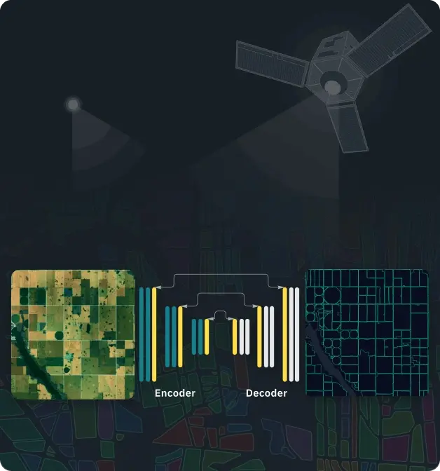
AI Model Processing
Semantic segmentation CNN (encoder–decoder architecture).
3
Validation & Verification
Ground-truthing with local farmer and GN/DS data.
Applications in Sri Lanka
For Farmers & Coops
- Transparent digital boundary records.
- Easier subsidy allocation (fertilizer, water, seed).
- Proof of land ownership/use for loans and insurance.
For Agricultural Organizations
- Monitor land use at the member level.
- Validate crop reports and resource requests.
- Build digital farmer directories linked to boundaries.
For Policymakers & DS/GN Officers
- Accurate maps for land distribution and irrigation planning.
- Monitor land-use changes over time (abandonment, encroachment, deforestation).
- Feed verified data into the National AI Data Pool
For Banks & Insurers
- Independent verification of field size and boundaries.
- Transparent crop-loss assessments for insurance payouts.
- Risk assessment for farm loans.