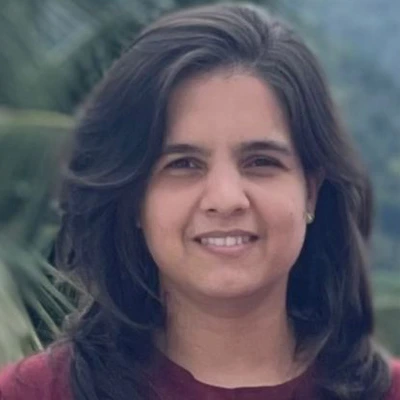
Piyumi Dharmaratne
Satellite Data Processing Engine - Learning Model Developer and Research Officer
Piyumi Dharmaratne serves as the Satellite Data Processing & AI Research Officer at the WHY National Digital Eco-System, contributing to the development of advanced geospatial intelligence, satellite data processing, and artificial intelligence solutions for smart agriculture, environmental monitoring, and sustainable development.
She is responsible for configuring, and optimizing the WHY Satellite Data Processing Engine (WHY GEOLUME INSIGHT) enabling efficient processing, analysis, and visualization of satellite imagery and geospatial datasets. She develops machine learning models and intelligent geospatial workflows that transform Earth observation data into actionable insights for research, planning, and decision-making.
Her expertise includes satellite image preprocessing, vegetation index analysis (NDVI, EVI, NDWI), UAV and satellite remote sensing, Google Earth Engine, QGIS, Python-based machine learning, spatial modelling, crop health monitoring, land-use mapping, and precision agriculture. She works with multi-source Earth observation data including Sentinel, UAV, multispectral, and SAR imagery to develop scalable geospatial analytics solutions.
As a Research Officer, she collaborates with multidisciplinary teams, develops professional e-learning content and technical training materials, and supports research and capacity-building initiatives that promote AI-powered geospatial technologies across multiple sectors.
Areas of Expertise
- Satellite Data Processing
- Artificial Intelligence & Machine Learning
- Remote Sensing & GIS
- Precision Agriculture
- UAV (Drone) Mapping
- Google Earth Engine
- GRASS GIS & QGIS
- Vegetation Index Analysis
- Spatial Data Analytics
- Environmental Monitoring
- Research & Innovation
- E-Learning Development
Academic Qualifications
- M.Phil. (Crop Remote Sensing), Wayamba University of Sri Lanka
- B.Sc. Agriculture (Hons.), Second Class Upper Division, Wayamba University of Sri Lanka
- Diploma in Information & Computer Technology (Software Development)
Professional Highlights
- Researcher in UAV-based multispectral remote sensing and precision agriculture
- Visiting Lecturer – NIBM, Kurunegala
- Former Assistant Director – School of Agriculture, Department of Agriculture
- Experienced in UAV flight operations, satellite image processing, and machine learning
- Winner of Best Oral Presentation – ICIET 2022
- Author of peer-reviewed journal articles in remote sensing, agriculture, and AI applications