Water & Resource Management
Water is Sri Lanka’s most critical resource for agriculture, industry, and communities. Yet, poor allocation, droughts, flooding, and mismanagement often leave farmers vulnerable and ecosystems degraded. Traditional systems are fragmented, with weak enforcement and little real-time insight.
The WHY Super App ecosystem solves this by combining AI forecasting, satellite monitoring, and community-led reporting to create a transparent, efficient, and resilient national water management framework.
Monitoring & Intelligence Layer
Satellite & Sensor-Linked Data
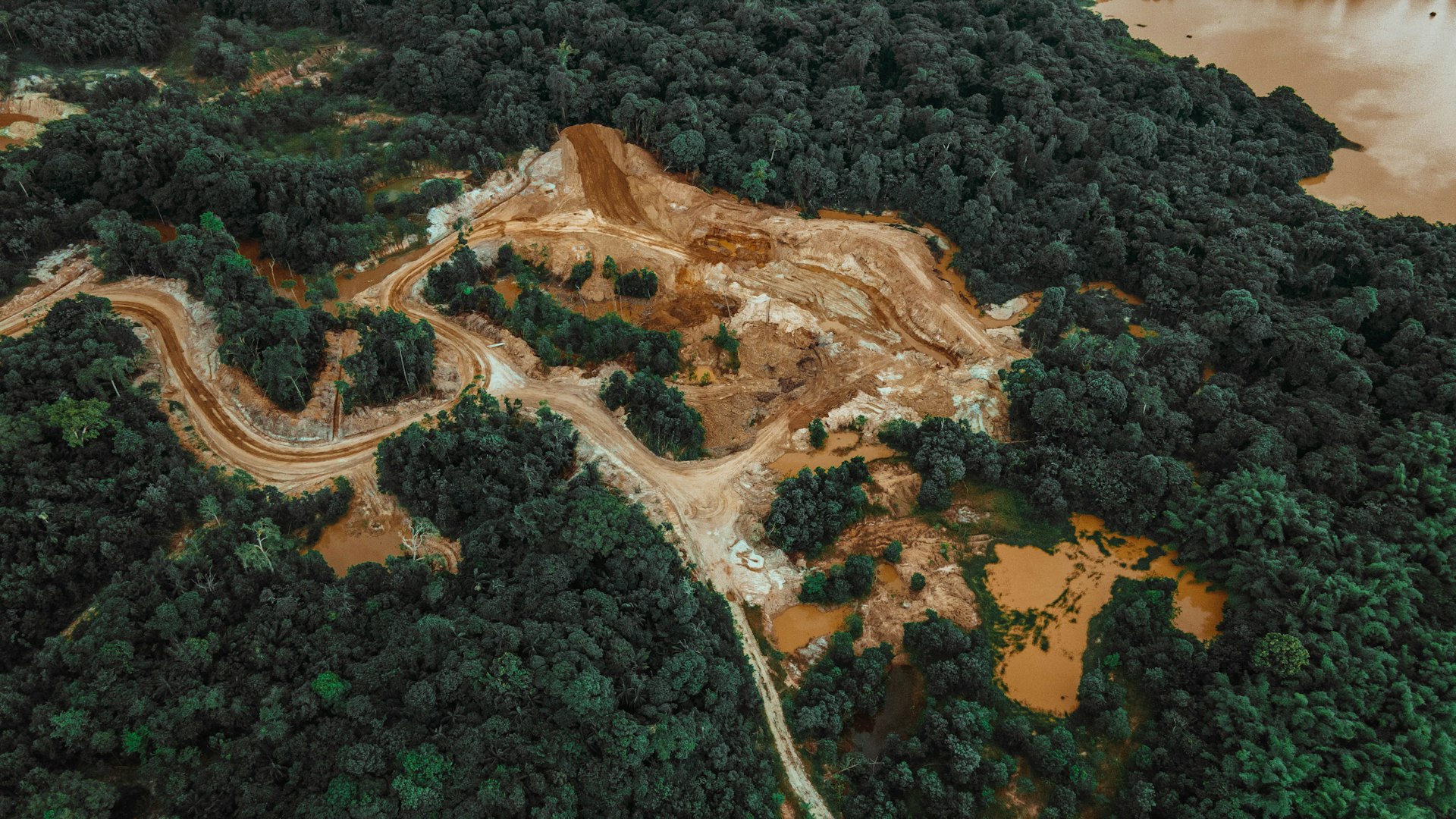
Monitors irrigation networks, rivers, reservoirs, and groundwater levels using satellite imagery.
Detects illegal water diversions, over-extraction, and encroachments in real-time.
Cross-references with rainfall and drought pattern data from the National AI Data Pool
AI Forecasting & Risk Analytics
Predicts water scarcity zones and allocates supply before crises occur.
AI models optimize irrigation schedules based on crop cycles and weather forecasts.
Generates flood risk and drought tolerance scores to guide local planning

Community Reporting & Validation
Farmers and citizens can report shortages, blocked canals, or contamination via the Community Problem Solver Mini-App, with GPS, photos, or voice notes.
Agricultural Organizations Mini-App verifies fair distribution of fertilizer, seed, and water quotas, ensuring no misuse or elite capture
Governance & Resource Allocation
Multi-Tier Admin Dashboards
DS/District/National-level admins see geo-linked water usage dashboards with heatmaps of consumption and stress points.
Automated SLA triggers ensure response when reported shortages are not addressed.
Policy & Enforcement
Integration with crop policy enforcement tools ensures farmers stick to sustainable planting aligned with available water.
AI alerts trigger compliance checks (e.g., subsidy violations if allocated water isn’t used for crops).

Solution & Impact Layer
- AI-driven alternative crop recommendations based on available water and soil type.
- Promotes micro-irrigation, rainwater harvesting, and agroforestry via community training modules.
- Resource use is logged into the Traceability system for global buyers, ensuring ethical and sustainable sourcing.
- Citizens and NGOs access open dashboards for monitoring water projects and outcomes
- Verified water-use efficiency contributes to climate financing and SDG-linked donor programs.
- Farmers gain credit eligibility and marketplace access when they comply with sustainable water use.
- Communities are empowered through participatory planning and grievance redress systems.